baitcon running log
Jul. 2nd, 2014 09:29 pmBecause other stuff happened, before Monday angstful afternoon.
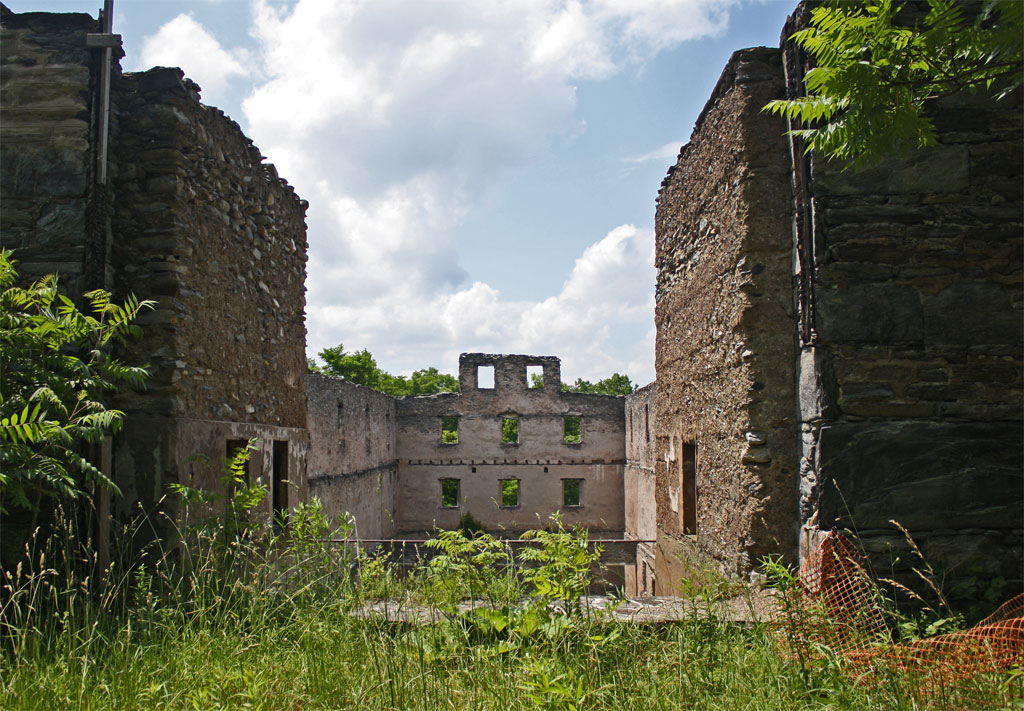
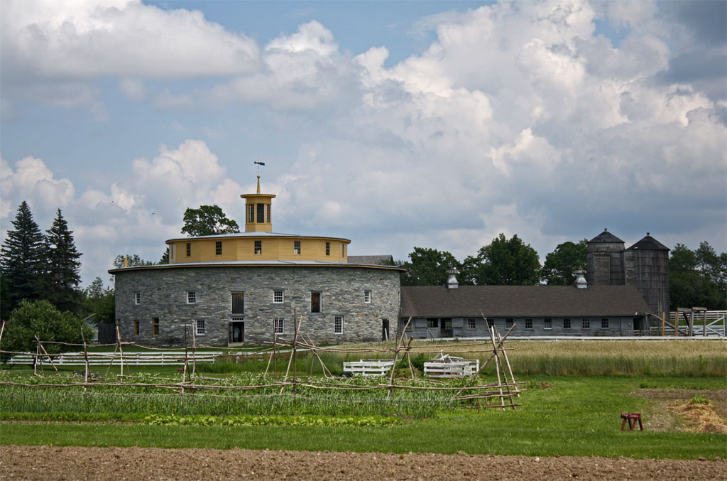
In the years Baitcon has been at the Abode, I've never explored the mountain trails. This Sunday, I went for a run. Out past the Sanctuary, found and followed the "Jamil Loop", which was about ¾ mile of continuous Down. This dropped me onto Chair Factory Road, which I followed until it dead-ended, because I didn't really know where I was going. So add an unnecessary extra 1¼ mile, but it was flat, I was fresh, and I was out for a run. Out through the Abode, through the Darrow School, and I decided to take Shaker Road out to the center of town (such as it is). Hmm, that's another mile+ of down, not as steep as the mountain of course, but just as inexorable. And I'm thinking I'm going to have to regain this elevation, one way or another. And Route 22 to Route 20 to Darrow Road was 1½ miles of continuous Up, in full sun on hot pavement. At one point, I found a mostly-full water bottle at the side of the road, and dumped it on my head. After that was pretty much as expected, including the hellish climb back up the mountain. And it was much cooler under the trees.
8 miles, 2046 ft elevation gain, 1:18. Exhausted, drenched with sweat, in desperate need of a shower before dinner. Again.
Seriously, I probably wouldn't run that route again, but I'd run at Baitcon again. Nevin has offered to show Kylie the trails next year, and I'd totally tag along for that, because none of the trails are in OpenStreetMap.